• Gold US $
  • Silver US $
  • Copper US $/lb
  • TSX-V: GRG
  • $
  • OTCQB: GARWF
  • $
  • FSE: G6A
  • $

Mogote Copper-Gold Project

Copper-Gold

Type

8800 ha

Property/Mineral Rights

Argentina

Country

Exploration; Optioned

Stage
Highlights
  • Optioned to Syndicate Minerals Pty on May 11, 2022
  • In a prolific district with local exploration successes
  • Multiple large porphyry and epithermal target areas
  • Just 12,000 metres of drilling completed
Mogote

Property & Access

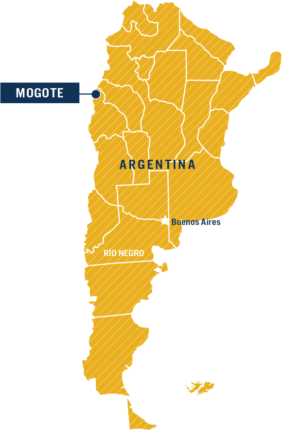
Mogote is located 350 kilometres northwest of San Juan City, San Juan province, Argentina and adjoins the international border between Chile and Argentina. Access to the property is possible from either Chile or Argentina, but practical access is currently from the Argentina side. The property is located in moderate to steep mountainous terrain on the upper eastern slopes of the Andean Cordillera, with elevations ranging from 4,300 to 5,500 metres above sea level.

Geology & Exploration Summary

[For full details of exploration results, please refer to the original News Releases filed on SEDAR.]

Regional Geology

This Mogote project is situated in the southern extension of the Maricunga Gold-Copper Belt, in an area also considered to be the geologic bridge to the El Indio Gold Belt to the south, with both districts hosting world-class porphyry and epithermal deposits that provide models for exploration in the region. Locally, the Mogote project is adjacent to the Filo del Sol property, where the main copper/gold porphyry system is located two kilometres to the north. Filo del Sol hosts reported proven and probable reserves of 2,226 Mlbs copper and 2,764 koz ( 259.1Mt @ 0.39% Cu & 0.33 g/t Au, www.filo-mining.com 8/11/21) [Golden Arrow cautions that proximity to a mineral resource, deposit, or mine does not indicate that mineralization will occur on Golden Arrow’s property, and if mineralization does occur, that it will occur in sufficient quantity or grade that would result in an economic extraction scenario. Note that Golden Arrow’s Qualified Person has been unable to verify the above reserve information.]

Mogote lies within a regional belt of hydrothermally altered rocks referred to as the 'Faja de Potro'. Alteration is related to high-level intrusions and subvolcanic hydrothermal activity, with potential for porphyry copper-gold, as well as precious metal epithermal deposits. The region is underlain by extensive volcanic units and related intrusive bodies of the Middle Miocene and older, making the area particularly attractive for mineral exploration. Regional mapping indicates that the Mogote project area is underlain by Oligocene - Early to Middle Miocene age volcanic rocks of the Penas Negras and Dona Ana Formations.

Property Geology and Mineralization

The property is underlain by basement rocks of the Permian age Choiyoi Group, which are faulted against and overlain by Tertiary age volcanic rocks. Alteration at Mogote is characterized by early porphyry style alteration with a later epithermal alteration overprint. There are three distinct porphyry centers at Mogote, related to a ~15Ma diorite porphyry system: Filo Este, Filo Central, and Zona Colorida.

The dominant alteration associated with mineralization is a potassic assemblage of biotite, magnetite, quartz, and potassium feldspar. Mineralization is also found associated with propylitic alteration consisting of chlorite, quartz, magnetite, and calcite. This alteration is hosted in microdiorite, fine-grained diorite, and Tilito breccias, and the grade of hypogene mineralization is largely a function of quartz vein density. Quartz veins consist of 2-10 millimetre wide A-type veins that are continuous over several meters of length and are generally stockwork in nature. A-type quartz veins are 1-10 millimeter veins of magmatic/hydrothermal quartz with disseminated magnetite, biotite, chalcopyrite, pyrite, and bornite. They generally form stockworks, but locally are sheeted and range in density from one per metre to four per centimetre. Hypogene sulfide mineralization consists largely of chalcopyrite, bornite, and pyrite with local hypogene alteration of copper sulfides to digenite, chalcocite, and covellite. Surface oxidation of chalcopyrite, bornite, and pyrite has resulted in various sulfates, carbonates, and iron oxides that include antlerite, brochantite, malachite, azurite, goethite, hematite, and jarosite. Overprinting the potassic alteration at both Filo Este and Filo Central and throughout the Mogote Property is weak to moderate anhydrite-carbonate veins that are commonly oxidized to gypsum within the zone of surface oxidation.

Filo Este:
The Filo Este porphyry center is an exposed potassic and propylitic altered core with moderate copper-gold-silver mineralization hosted in 15 Ma-old microdiorite and diorite and 23.1 Ma-old Tilito breccias. The area of mineralization has been defined by talus and rock sampling, trenching, ground magnetics, time domain IP, and 1,475 metres of core drilling. Surface geochemistry defines a +500 ppm copper and +200 ppb gold anomaly over 1700 metres of strike length in an east-west direction and 700 metres width north to south.

Filo Central:
The Filo Central anomaly has at least two exposed areas of potassic alteration hosted in microdiorite, fine-grained diorite phases, and Tilito Formation breccia. Alteration throughout the anomalous area consists of mixed potassic and propylitic types, and locally moderate to strong sericite-pyrite. The sericite-pyrite alteration has strong structural control and is at times epithermal in nature with weakly developed vuggy silica and alunite. The +500 ppm copper-in-talus-fines extends for over 3.5 kilometres in a northwest direction along the Filo Central ridge and is up to 900 metres wide. This anomalous zone also contains high levels of gold (up to 4.5 ppm), molybdenum (up to 260 ppm), silver (up to 26.7 ppm), and locally arsenic (up to 468 ppm).

Zona Colorida:
The Zona Colorida porphyry center is located south of the Macho Muerto fault and exposes the upper advanced argillic and quartz-sericite-pyrite levels of a possible diorite porphyry mineral system. Alteration is hosted in Tilito formation and medium grained diorite porphyry. Limited talus fines and rock chip sampling and limited geologic mapping have defined the Zona Colorida as a porphyry center that has undergone strong sericite-quartz-pyrite alteration. Sampling to date has yet to demonstrate near-surface potential for either porphyry copper-gold or epithermal gold-silver mineralization, however the zone has been interpreted to represent the steam-heated cap to a buried epithermal system.

In March 2004, the Company carried out a 1,475 metre, five hole diamond drill program and conducted further geological mapping and talus fine sampling on the northern part of the Mogote Property. The drilling tested a portion of the Filo Este porphyry target to a depth of up to 495 metres over a strike length of 860 metres and a width of approximately 250 metres. Hole MOG-04-1 had to be abandoned at 71.6 metres and hole MOG-04-1A was drilled from the same location to target depth. Highlights of the drill results are provided in table form below.

In addition to the drill program, regional surface work was carried out on Filo Central and other targets in March 2004 to advance them to the drill-ready stage. This work comprised detailed mapping, additional step-out talus sampling and road/trench construction. Talus fine sampling on the Filo Central target, defined by a strong magnetic signature coextensive with highly anomalous surface geochemistry, extended the surface copper-gold geochemical anomaly of greater than 0.1 ppm Au and 500 ppm Cu to 4,000 x 800 metres. Within this anomaly is a 600 x 400 metre area of greater than 0.5 ppm Au.

Between mid-January and early February 2005 the Company completed a Phase II 2,577 metre 9-hole RC drill program on the Mogote Property. Of the nine holes, four were found to contain significant gold-copper mineralization hosted in porphyry or in metamorphosed volcanic sediments at the margin of porphyry.

All the Phase II drill holes were sited to test strong areas of potassic-altered intrusive porphyries within the Filo Este and Filo Central anomalies, defined by strong magnetics, highly anomalous copper and gold geochemistry and surface alteration. Five holes were completed on Filo Este over an east-west strike extent of 1.4 kilometres spanning a north-south distance of 720 metres. The remaining four holes were spaced out over 1.6 kilometres of strike length along Filo Central. All drill holes were located on the Argentina side of the international border.

The significant intercepts include:

The Phase I and II drill programs were carried out under the supervision of project geologist Steven K. Jones, M.Sc., C.P.G., a Qualified Person under NI-43-101 guidelines. Assays for the drilling program were performed by Alex Stewart Labs, Mendoza, Argentina, an internationally recognized assay service provider.

All significant intercepts were from holes on Filo Este. Drill holes MOG-7, 8, and 12 are all located in the northwest corner of the property and in the northwestern portion of the Filo Central anomaly. These holes were all hosted in, or spatially related to, a newly mapped occurrence of fine-grained intrusive porphyry that is interpreted as an early porphyry phase that typically alters to potassic or intermediate argillic assemblages.

Copper and gold mineralization in the drill holes was related to potassic quartz-biotite alteration and directly related to early vein density and local silicification. Vein hosted and disseminated sulfides include chalcopyrite, pyrite, and minor bornite.

In 2010 the Company entered into an option agreement with Vale Exploracion Argentina, S.A. ("VEASA"), a wholly-owned subsidiary of Vale S.A. ("Vale”) for three years.

During the first-year program Vale completed detailed lithological and alteration mapping on the Zona Colorida and Stockwork Hill zones, rock sampling, petrography and PIMA work, as well as 40 lines of geophysics including 32 km of IP, 180 km of ground magnetics, 51 km of radiometrics and 170 km of digital GPS surveying. The geophysical surveys covered the central and a portion of the southern Mogote property.

On June 18, 2012, the Company announced the results of Vale's 8 hole, 3,695 m drill program that was completed during Q1 and Q2, 2012. Vale's drilling confirmed the existence of a copper porphyry system below the large and prominent steam-leached alteration zone at the Zona Colorida. Five widely spaced drill holes were completed at Zona Colorida with an average depth of 575 m. All holes encountered a multi-phase porphyry system with long intervals of intense quartz-pyrite vein stockworks and classic porphyry alteration, containing low grade copper mineralization. The best drill intercept recorded was in hole MGT DH5, from 68 m to 118 m (50 m interval) that averaged 0.224% copper.

In January 2013, Vale commenced a 10-hole, 4,653 m drill program on the Mogote project. The drill program targeted both porphyry copper-gold and precious metal epithermal mineralized zones identified during Vale's 2011-12 field program. On July 24, 2013, the Company announced that Vale provided notice of its decision to terminate the option agreement as it had withdrawn from its operations in Argentina.

X

Sign up to Receive News & Related Information

* Required